Local News
Another late season snowfall in the southwest
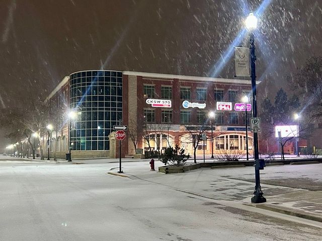
Southwest Saskatchewan isn't quite done with winter weather just yet. There is more snow headed to the region on Thursday. "Swift Current is kind of right on the edge of an area of precipitation that's over southwest of Saskatchewan and Alberta," said Environment and Climate Change Canada Meteorologist Rose Carlsen. "It's kind of moving in from Montana, and it's really more moving into Alberta, just kind of clipping the southwest corner of Saskatchewan there." The system will start with a mix of precipitation. Related Stories: Environment Canada warns of incoming snow Spring Seeding Outlook Prairies face dry spring outlook "(Thursday) it's going to be a little bit more of like a rain-snow mix (in the afternoon) for the Swift Current area. Then it's going to cool down a little bit overnight and be mostly just flurries. Expecting on the order of 2 to 4 centimeters of accumulation overnight, but pretty warm. Then I don't know if it's really going to stick around. We're looking at a high of plus three (Friday). Snow is going to be ending in the morning, and then we're still looking at positive highs over the next couple of days." The system should hit most of the southwest. "Most of those areas are actually getting some precipitation already," Carlsen said. "There's some snow in Cypress Hills and it's kind of arcing over towards Swift Current, and then it's going to slowly translate eastward throughout the day." She noted the snowfall won't likely hit anywhere east of Moose Jaw.