


Over the weekend Swift Current experienced some extreme weather as on both Saturday and Sunday the temperature reached close to -30 without the wind chill.
On Saturday the low was -29.3, and on Sunday the low was -29.5, the coldest it's been in the first week of February since 2014.
Environment Canada Meteorologist John-Paul Cragg said the cold start to February shouldn't last much longer.
"Swift Current residents can expect it to warm up next week," he said. "It's looking more and more likely that even this weekend you can see temperatures start to warm up, but starting next week, there's a good chance that there will be a warming trend around Swift Current and around the southwest corner of the province. So expect some warmer temperatures for next week with the cold arctic air leaving the southwest corner of the province."
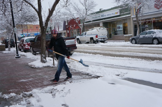
To go with the cold, residents woke up to a blanket of snow on Saturday as around five centimetres of snow fell throughout Friday and continued to fall on Saturday.
"February usually receives about 11.8 centimetres of snow, so overall it's been a snowy February, but if you average out the snowfall, the Swift Current area is below the average of snow for the entire year."
Cragg adds that Swift Current has already received over half the normal amount for February as on the weekend the city saw five centimetres of snow fall.
Looking forward, Cragg says that despite the warm up next week, the rest of February could get chilly.
"For February Swift Current gets 1.8 days where the temperature drops below -30," he said. "Now officially our record says that Swift Current got down to -29.3 and then -29.5, so if we are going to get to the average number of days with -30, Swift Current still has two more -30 days to go."


 Sat, Apr 20, 1:00 PM
 Contract, Full-time, Part-time, Seasonal, Term, Agriculture, Entry-Level, Labour
 Featured


