


A special weather statement is currently in effect for Swift Current, Herbert, Cabri, Kyle, and Lucky Lake.
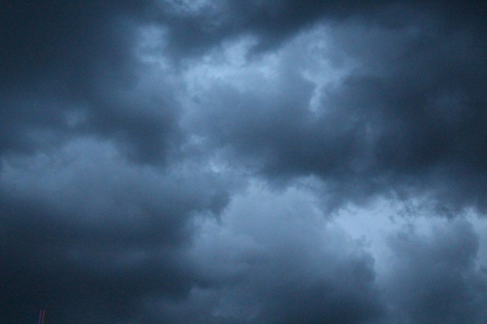
A sizeable spring storm is set to affect portions of southern Saskatchewan and southwestern Manitoba on Tuesday night into Wednesday and possibly into Thursday.
A large-scale trough of low pressure extending northward from a Colorado Low in the northern plains of the United States will give a prolonged period of precipitation to the southern Prairies.
Snowfall amounts will likely range from 10 cm to 20 cm.
The system has several complicating factors and uncertainties that have not yet been determined.
Mild temperatures prior to the storm as well as heavy, wet snow will lead to lots of melting and compaction on contact as it begins to accumulate.
Precipitation will likely be mixed at times with rain, especially over south-central Manitoba. Higher resolution model guidance shows the potential for multiple waves of precipitation, which would complicate total accumulation predictions.
In general, various model guidance continues to be muddled, with little in the way of a consensus of areas affected and total precipitation amounts.
It is currently believed that precipitation will begin overnight Tuesday into Wednesday for most regions, although there may be an area of mixed precipitation ahead of the main area of precipitation on Tuesday afternoon into the evening.
Total accumulations of all types of precipitation may exceed 20 mm for some areas, greatly exacerbating the flood situation for some regions.
The highest confidence for the heaviest precipitation lies over eastern Saskatchewan and western Manitoba, roughly from Regina to the Manitoba Parklands. The greatest uncertainty lies over western Saskatchewan, west of Regina, and the Red River Valley, east of Portage la Prairie in Manitoba.
In addition to the snow, moderate to strong easterly winds gusting as high as 60 km/h will lead to poor travel conditions, particularly on Wednesday.
Snowfall or winter storm watches and warnings will likely be seen for some regions as the storm approaches and the evolution of the low-pressure system in the United States becomes more clear.


 Tue, May 7, 1:00 PM
 Full-time, Part-time, Permanent, Hospitality, Skilled Trades
 Featured


