Local News
Extremely late first frost imminent for southwest
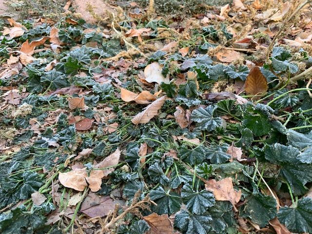
Southwestern Saskatchewan appears destined for its first frost of the fall overnight Sunday. Environment and Climate Change Canada is projecting a low of -2 C in the early morning hours of Monday. It would be the first time the temperature has dipped below freezing in Swift Current since April 28, when it reached -1.8 C. Brian Proctor, a meteorologist with Environment Canada, said he didn’t have the latest first frost data handy for Swift Current, but believes it’s rare to get through September without one. “This is probably close to the latest frost we’ve seen for a first frost in the fall,” he said. Swift Current’s average first frost usually falls between Sept. 18 and 22. The city recorded its third-warmest September in 140 years of data, with the coolest temperature of 1.9 C on Sept. 5. “We’ve been anomalously warm for much of September,” Proctor said. “It’s due to the fact that we have a very significant upper ridge in place centred over Alberta and Saskatchewan. That’s allowed warm air to really flood up from the northern U.S. plains into the western Prairies.” Proctor said the frost will likely be widespread and “fairly heavy” by Monday morning.