


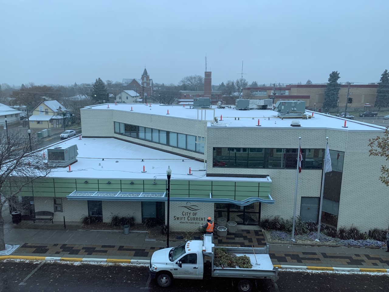
Portions of southwestern Saskatchewan arose this morning to the first snowfall in the back half of 2021.
Most areas including Swift Current only experienced trace amounts of the white fluffy stuff with most of it melting by the afternoon.
According to Environment and Climate Change Canada Meteorologist Terri Lang, the snow was somewhat localized as the eastern part of Saskatchewan and most of Manitoba received rain instead from the Colorado low.
"On the western side we're dragging in some cooler air from the north and if you actually go outside you probably can smell it actually smells smokey because it's bringing in smoke from the fires near Hudson Bay," she said. "So it's an odd combination of smoke and snow over more western parts of Saskatchewan."
She did note that Environment Canada hadn't received any reports as of 9 a.m. this morning as to any snowfall totals.
"We've already seen some areas with a couple of centimetres worth, I'm sure there is moreover higher terrain," she said.
It doesn't appear the snowfall will be long-lasting at all, with warm temperatures for October beginning to flood into the area as soon as tomorrow.
"Very much in typical Saskatchewan fashion, October is a month of big extremes so we can see snow of course (and) frost but by the weekend we're expecting highs in the low 20s C," she said. "We know the snow won't last, the weekend is going to treat us to some nicer temperatures so get out there and enjoy it while they're around.
Sunday is currently projected to hit 26 C, with temperatures in the high teens on Saturday and Monday.


 Sat, May 4, 10:00 AM
 Full-time, Part-time, Permanent, Hospitality, Skilled Trades
 Featured


